- Utah SNOTEL Snowpack Update report.
- Harris Flat 2016 Water Year graph.
- Harris Flat 2017 Water Year graph.
- Long Valley Junction 2016 Water Year graph.
- Long Valley Junction 2017 Water Year graph.
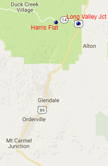
NRCS operates two SNOTEL sites near the headwaters of the East Fork of the Virgin River – Harris Flat at elevation 7792 feet and Long Valley Junction at elevation 7465 feet.